TEMPO: Tracking Air Pollution to Support a Sustainable Future for All
Weather satellites make it easy to track weather patterns across North America, but the same cannot be said about tracking air pollution. While our phones can tell us when it’s going to stop raining to the minute, we do not have the same ability to measure and predict the movement of pollutants in the air as precisely. Air pollution comes from many sources, including wildfires, automobiles, and manufacturing plants, and these emissions can spread across thousands of miles to threaten the health and wellbeing of entire ecosystems and communities. Fortunately, this coming spring, the Center for Astrophysics | Harvard & Smithsonian is launching the Tropospheric Emissions: Monitoring of Pollution (TEMPO) instrument into geostationary orbit to allow scientists to track air pollution in near-real time to help us understand its causes and how it is impacting life on Earth so we can develop sustainable solutions for the future.
TEMPO will collect high-resolution information about air pollution across North America on an hour-by-hour basis, during daylight hours, enabling researchers to study where air pollution comes from, how it moves through our atmosphere, and the ways it affects our forests, oceans, and communities. Just like the weather, air pollution varies throughout the day and moves quickly, and by training TEMPO over North America, our scientists will be able to keep a close eye on how pollution fluctuates by the hour.
TEMPO will be the first space-based instrument that is capable of measuring North American air quality hourly in geographic segments as small as four square miles, or about the size of midtown Manhattan. The TEMPO instrument measures sunlight reflected from Earth’s surface through the atmosphere. It is able to identify specific pollutants because each molecule creates a unique signature in the measured light. It will scan an area ranging from the Pacific to the Atlantic and from the Yucatán Peninsula in southern Mexico to the Alberta oil sands in northern Canada, encompassing most of the populated area of North America. It will enable us to analyze most types of pollutants, as well as other atmospheric threats, and their effects on our ecosystems and our lives. Below are some examples of the activity we will monitor using TEMPO.
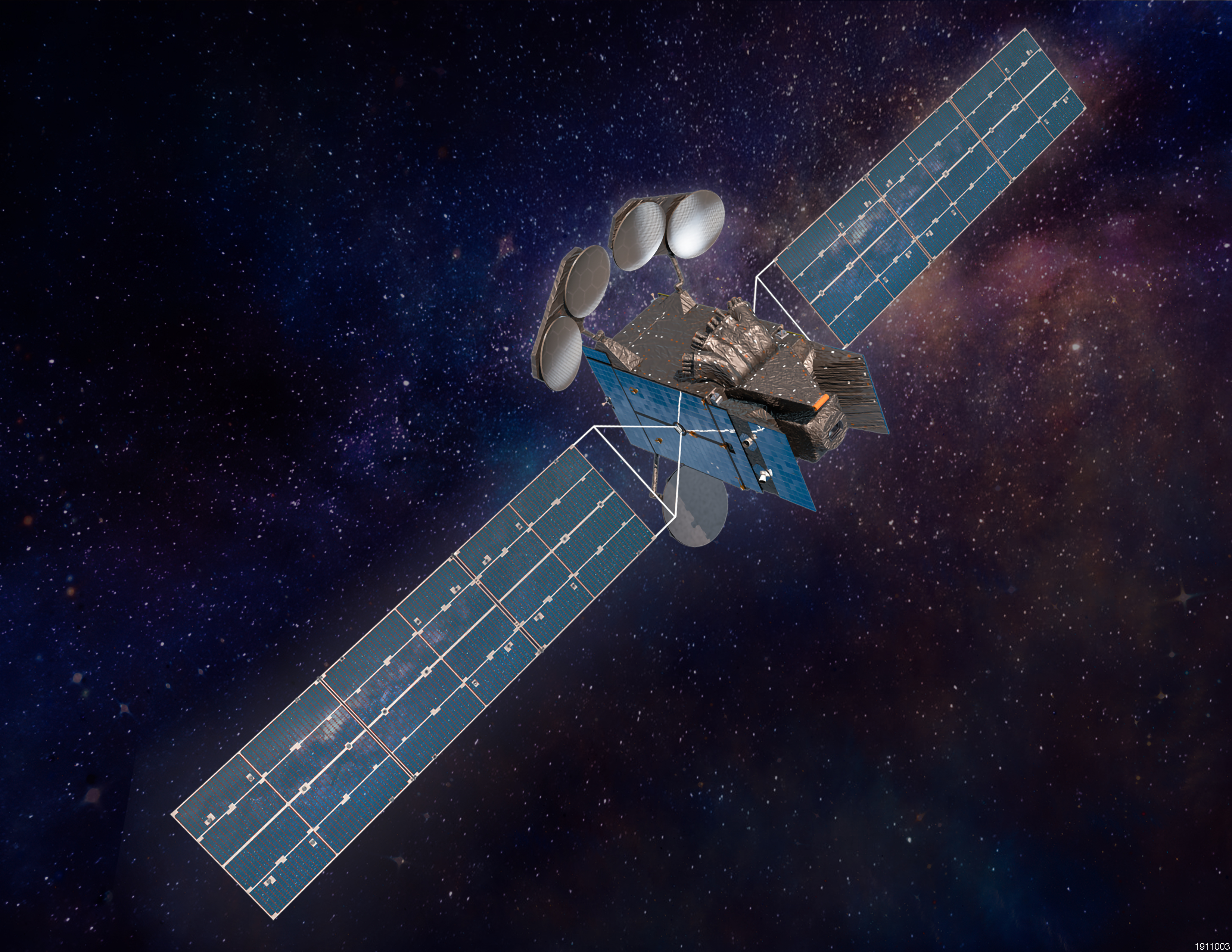
TEMPO will launch into geostationary orbit 22,236 miles above Earth's equator in 2023 as a payload on Intelsat 40e.
© Maxar Technologies.
Ozone
The ozone in our stratosphere protects us from harmful ultraviolet radiation from the sun, but ozone closer to the ground is a harmful pollutant. Ground-level ozone forms when pollutants from various emitters such as cars, power plants, oil refineries and chemical plants react in the presence of sunlight. Ozone can make it harder to breath, and it can damage plants, including a number of important agricultural crops. It also travels long distances, making it an important molecule to track using TEMPO.
Ground-level ozone is produced when two classes of chemicals react with each other in the presence of sunlight. These include nitrogen oxides, and volatile organic compounds like formaldehyde, which are all formed by burning fossil fuels. Some pollutants are also formed by natural disasters; for example, formaldehyde and glyoxal are formed by wildfires. Glyoxal is also emitted by certain trees under heat stress. Even before they react to form ozone, these chemicals can irritate peoples’ airways and long-term exposure can cause chronic health problems such as asthma.
Some chemicals eat away at the stratospheric ozone layer that protects us from the sun directly. Bromine monoxide, for example, is produced from wildfires and in the ocean, and it’s also used as an agricultural pesticide. Iodine monoxide is found in dust. Both chemicals degrade the ozone layer.
TEMPO will track all the chemical precursors of ozone, the chemicals that destroy ozone, and ozone itself, to monitor how and where it is forming, where and how it travels, and how it might impact our health and the health of our ecosystems.
Water and Light
On their own, water and light are not harmful, but if they’re present in the wrong locations at the wrong time, they can cause harm to us and our environment. For example, as atmospheric temperatures rise due to climate change, the air will be able to hold more water vapor. This higher humidity makes for unpleasant weather conditions that can pose a danger to sensitive populations.
At night, light can affect our rhythms and reduce our sleep quality, cause stress and anxiety, and produce physical health problems such as headaches. Light pollution also affects migration and sleep patterns in animals, too, which damages their populations.
TEMPO will measure light and water vapor to assess how these elements are impacting our environment and how different solutions might reduce their impact.
Measuring the Impact of Pollution
In addition to measuring harmful pollutants, scientists will use TEMPO to track the effects of pollution and climate change on our environment. For example, the ocean is teeming with microscopic life that produces nutrients that support all living things, but life in the ocean is facing its most significant challenges to date thanks to rising water temperatures. In warmer waters, algae colonies in the ocean can grow out of control and harm all forms of life in the water, including humans. The algae produce toxins that kill fish and poison shellfish so people cannot eat them. The blooms can also reduce air quality in their surroundings. Harmful algae blooms form off the shores of the U.S. For example, they form in Florida each year, forcing authorities to shut down beaches. TEMPO will be able to detect these harmful algae blooms sooner so authorities can identify potential threats faster and protect their local communities.
As ocean temperatures rise, phytoplankton populations will drop, leaving the ocean with fewer nutrients to consume. Species die off and more carbon dioxide will be released into the atmosphere, thereby worsening the impact of climate change. Scientists will be using TEMPO to monitor the physiology and productivity of phytoplankton in releasing nutrients to the ocean.
TEMPO will also measure cloud formations, plant health, and UV radiation, as these factors tell us more about the state of our environment and can help us identify sustainable solutions to the challenges we’re facing in the face of climate change and biodiversity loss.
Our Shared Future
TEMPO will supply scientists and the public with a wealth of data that tells us about the health of our atmosphere in more detail than we’ve ever seen before. As meteorologists examine changes in air pressure and precipitation to forecast our weather, scientists at the Smithsonian, Harvard and across the globe will be able to monitor shifts in air pollutants, ocean health, plant health, and light to better inform industry and policymakers on the impact of natural and artificial activities on the health and wellbeing of our planet. TEMPO will produce the data we need to create a more resilient future for all life on Earth.